About this service
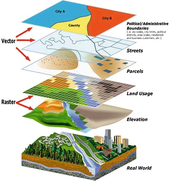
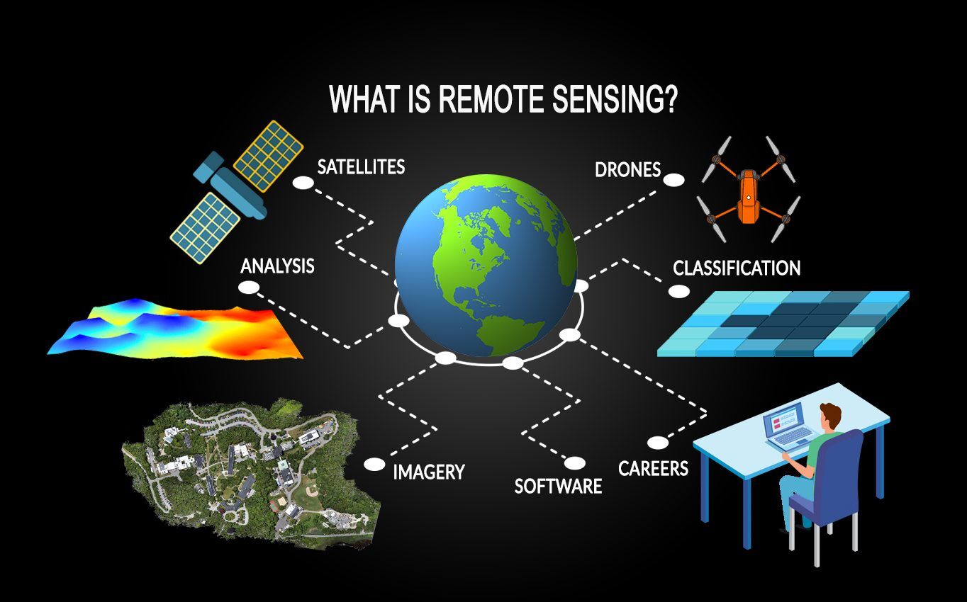
Geographic Information Systems (GIS) and Remote Sensing are powerful technologies used to collect, analyze, and visualize spatial data for informed decision-making. These tools allow accurate mapping of land features, mineral potential zones, property boundaries, and environmental patterns. At Kehill Geoengineering Limited, we provide professional GIS and remote sensing services to support exploration, planning, and resource management projects across different sectors.