Hydrogeological Surveys

Hydrogeological Surveys

Locate productive groundwater zones with precision.

Modern geophysical equipmentSubsurface aquifer mappingRecommended depth & expected yield
Hydrogeological Surveys

About this service

A hydrogeological survey is a scientific investigation conducted to determine the availability, quality, depth, and sustainability of groundwater resources in a given area. It is the most important first step in any borehole project because it minimizes drilling risks, improves success rates, and provides critical information for proper borehole design and development. At Kehill Geoengineering Limited, we conduct comprehensive hydrogeological surveys using modern equipment and advanced techniques to identify the most suitable drilling locations and estimate groundwater potential before drilling begins.
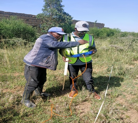
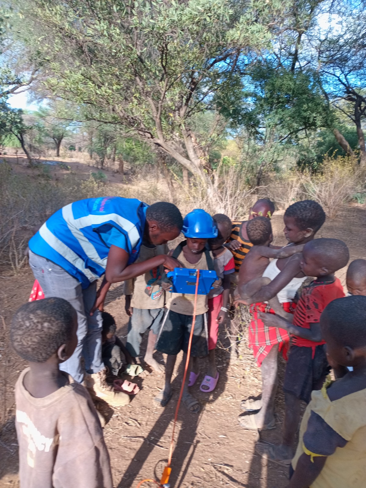
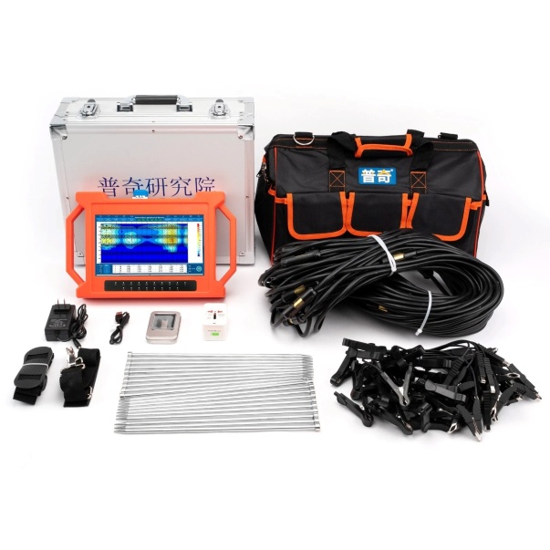
PQWT Groundwater Detector

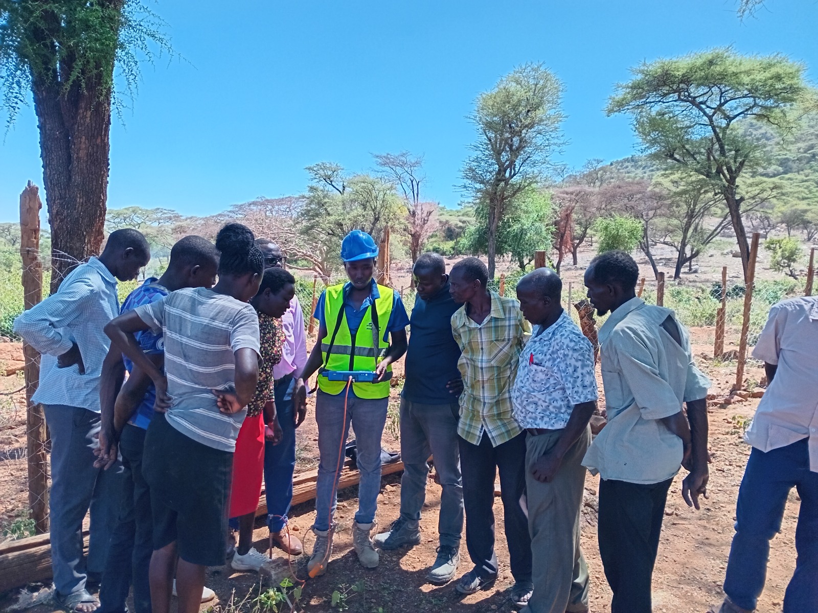
The PQWT Groundwater Detector is an advanced geophysical instrument used to identify potential groundwater-bearing zones. It operates by measuring variations in the natural electric field of the subsurface, helping hydrogeologists locate fractures, fault zones, and aquifers that may contain groundwater.

The equipment provides rapid field assessments and is particularly useful in:

  • Groundwater prospecting
  • Identifying potential drilling points
  • Mapping fracture zones
  • Estimating groundwater occurrence and depth

Why It Matters

A hydrogeological survey is a critical investment that significantly increases the probability of borehole success. By combining geological investigations, geophysical techniques, remote sensing analysis, and professional interpretation, our hydrogeologists can accurately identify suitable groundwater sources and provide reliable recommendations for borehole development.

Hydrogeological Surveys 1
Hydrogeological Surveys 2
Hydrogeological Surveys 3
Hydrogeological Surveys 4

Ready to start your hydrogeological surveys project?

Get a free, no-obligation quote from our experienced team today.